电话:861716190825


邮箱:tongjunjun@tsnavigation.com

 Marine Navigation System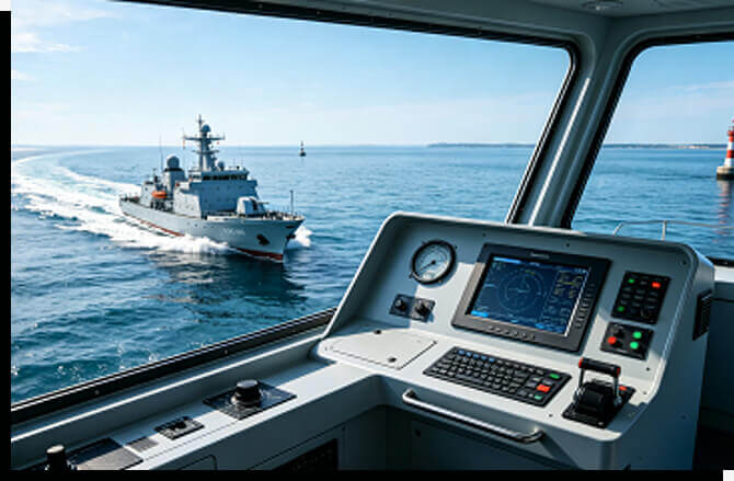
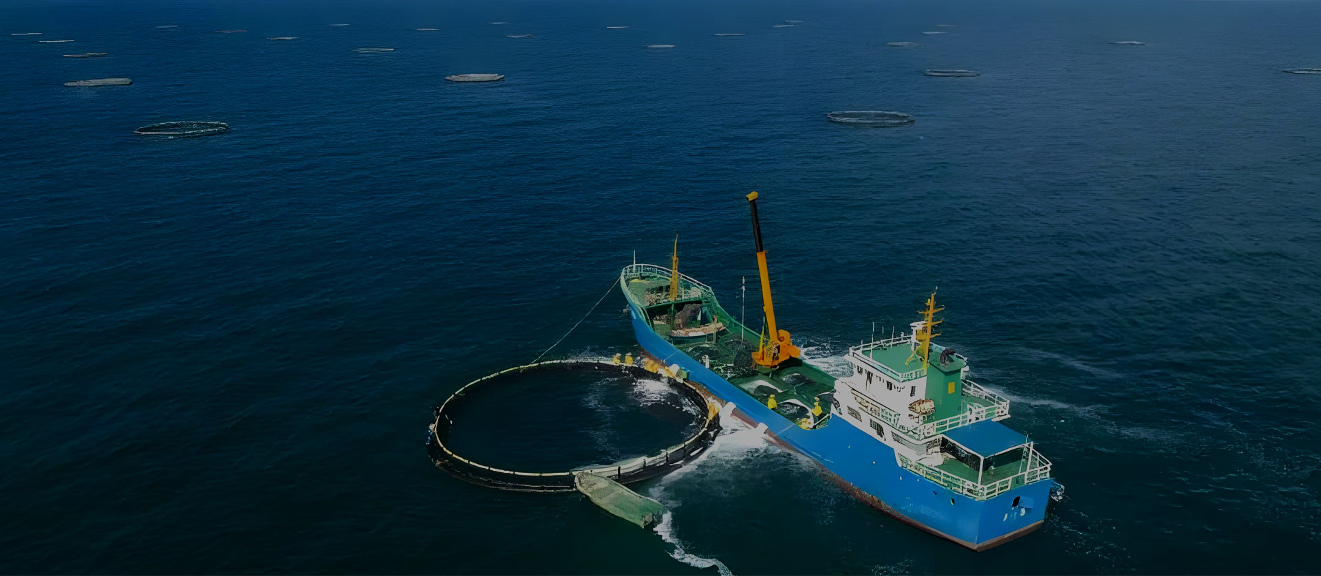
Timespace inertial navigation systems, gyroscopes, and accelerometers can be integrated into marine equipment to provide attitude, heading, angular-rate, acceleration, and motion data. Supported interfaces, aiding sensors, and environmental ratings vary by product model.
Product selection should consider the complete operating lifecycle, including required accuracy, aiding sensors, interfaces, environmental ratings, installation, maintenance, and replacement planning. Costs and service intervals depend on the selected model and operating conditions.
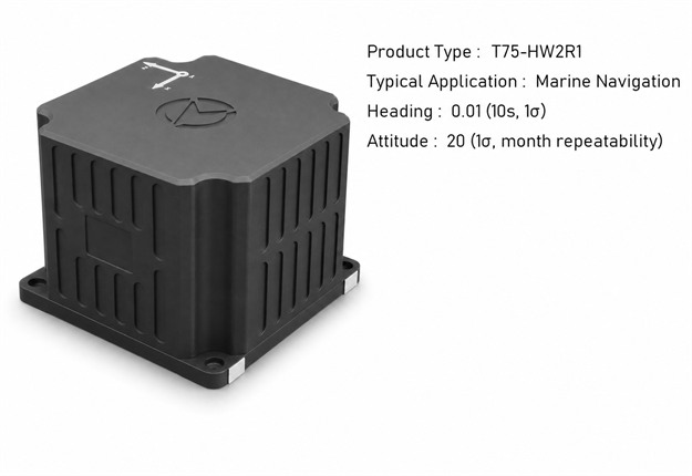
Depending on the model, Timespace inertial navigation equipment can integrate gyroscopes, accelerometers, GNSS receivers, processing electronics, and external sensor interfaces. The actual configuration and supported functions are stated in the specification of each product.
For underwater equipment, an inertial navigation system can use aiding data from compatible sensors such as a Doppler velocity log or depth sensor. GNSS data may be used when the carrier is at the surface. Supported interfaces and achievable performance depend on the selected model and integration method.
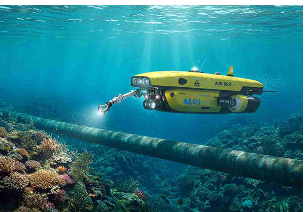
Timespace inertial products can provide attitude, heading, angular-rate, acceleration, velocity, and position data according to model configuration. Output rates, protocols, aiding inputs, and environmental ratings should be confirmed from the applicable product specification.
Alignment method and alignment time vary by product model, installation state, and available aiding data. Deployment procedures should follow the applicable product manual and confirmed interface configuration.
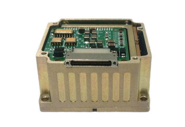
Compatible inertial navigation systems can use Doppler velocity log data as an aiding input for underwater motion estimation. Supported interfaces, data formats, calibration procedures, and performance depend on the selected model and system integration.
Power consumption varies by product model, supply voltage, operating mode, and connected equipment. Long-duration deployments should be planned using the rated power and environmental limits in the applicable specification.